


DEGREE
Geospatial Engineering
DEGREE
Geospatial Engineer
CES Resolution
RPC-SO-30-No.475-2022
DURATION
4 Years
MODALITY
On-campus
Academic Identity
Learn about the foundations of the program
- Mission
To train Geospatial Engineers with values and principles, which through the observation, measurement, analysis, treatment, modeling and dissemination of geospatial data and information; are capable of developing, perfecting, innovating, implementing and evaluating geospatial techniques and technologies that contribute to the solution of multidisciplinary problems that contain spatio-temporal variables for the sustainable development of society.
- Vision
The Geospatial Engineering Career is recognized nationally and regionally for the level of excellence achieved in the geospatial area, with accredited academic quality, presents a growth in knowledge and shows excellence in the result of its training processes. The Career is recognized through its work in undergraduate teaching, research, linkage, technical assistance and for its contributions to the development of the country.
- Program Objectives
- General objective
To train Geospatial Engineers with values and principles, which through the observation, measurement, analysis, treatment, modeling and dissemination of geospatial data and information; are capable of developing, perfecting, innovating, implementing and evaluating geospatial techniques that contribute to the solution of multidisciplinary problems that contain spatio-temporal variables for the sustainable development of society
1. To knowledge and knowledge
Use and exploit geospatial techniques to apply, investigate, validate and transfer knowledge of the geographical space to the solution of problems for the benefit of the community.
2. Relevance
Solve multidisciplinary problems through research, validation and transfer of technology that promotes sustainable development as a contribution to the change of the productive matrix and development of the country
3. To the learning
Use methods of capture, analysis and dissemination of geospatial information to design, implement and manage data and information systems that contain the spatial variable.
4. To the citizenry
Integrate the career with the community and the actors of society, to promote community geospatial management through techniques and technologies that recover ancestral knowledge, with good practices, new technologies in an inclusive, participatory and gender equity framework.
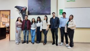
Program video
Live the experience of studying Geospatial Engineering
Discover daily life in our classrooms, laboratories, and academic spaces. Students, faculty, and researchers share their stories.
Learn about the foundations of the program
Profiles and outcomes
The professional we train and the competencies you will develop
- Professional Profile
The Geospatial Engineer is a professional with values and principles, who through the observation, measurement, analysis, treatment, modeling and dissemination of geospatial data and information; It is capable of the development, innovation, implementation and evaluation of geospatial techniques and technologies in order to provide solutions to multidisciplinary problems that contain spatio-temporal variables for the sustainable development of society.
It is trained to generate and interpret geospatial information, and apply it to problems related to planning, land management, risk management, management of natural resources, and especially in Geospatial Data Management, the profession has a multidisciplinary and knowledge-integrating character
- Graduate Profile
Through the harmonization of the curricular organization in eight levels, with the challenges present in the tensions of the profession, the following profile of Geospatial Engineering graduate is proposed, adjusted and contextualized to the demands of the profession, phenomena and systems.
They will be able to apply the theoretical-practical foundations of the basic sciences applicable to Geospatial Engineering, characterize and quantify the factors of the components of the geographical space through their physical and social relationship in the system, correlate biotic, abiotic and anthropic factors with the application of techniques and technologies of observation and capture of geospatial data and spatial modeling for better understanding.
Applies analysis techniques and technologies to generate geospatial information, experiments with innovative alternatives, uses geospatial data and information in an integrated and interoperable way with analytical capacity and practical application, uses geospatial tools, designs and evaluates geospatial research projects that generate social, environmental and economic benefits for multidisciplinary problem solving, guaranteeing territorial management with equity, leadership and entrepreneurship.
- Learning Outcomes
It recognizes the fundamentals of the basic sciences, the biotic and abiotic environment, as well as the components and representation of geographic space with critical capacity, using national and international norms and standards and quality control of geospatial information
It uses geospatial tools for the capture, processing and analysis of data for the understanding of the geographical space, characterizes the anthroposphere with the biosphere.
It contributes to the solution of problems related to risk management, sustainable development, natural resource management and territorial planning, supported by geospatial information analysis and modeling techniques.
It generates reliable, accurate, and detailed geospatial information from geospatial data, to be used in multidisciplinary applications.
It designs spatial data infrastructures and geoportals for the dissemination of geospatial information, manages geospatial solutions to problems in geographical space.
It experiments with innovative alternatives, implements them with criteria, analytical capacity and practical application, in order to obtain greater productivity and quality in geospatial research projects, which allow generating social, environmental and economic benefits.
Consciously correlates biotic, abiotic and anthropic factors with the application of observation techniques and technologies for geospatial observation and data capture and deterministic and stochastic models, for the prospective use of geographical space for sustainable land management, social and economic development.
It characterizes the factors of the components of the geographical space through their physical and social relationship, through in situ diagnosis with critical sense, analytical capacity and precision, considering the geopolitical reality.
Demonstrates ethical attitudes, leadership and honesty in the development of their professional management, applying spatial modeling methods, for the improvement of the understanding, management and dissemination of the components of the geographical space
It uses geospatial data and information in an integrated and interoperable way, to improve productivity and quality, using innovative technologies to guarantee the sustainable management of the territory.
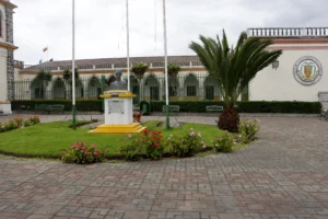
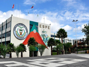
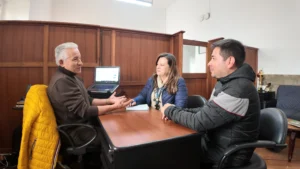
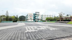
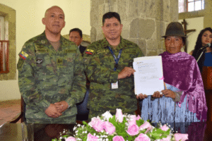
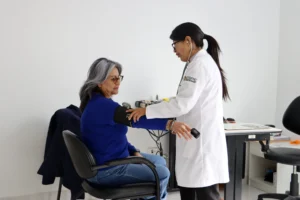
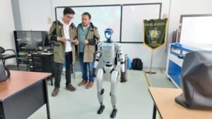
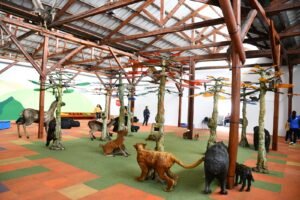
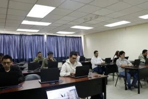
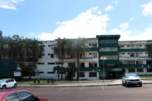
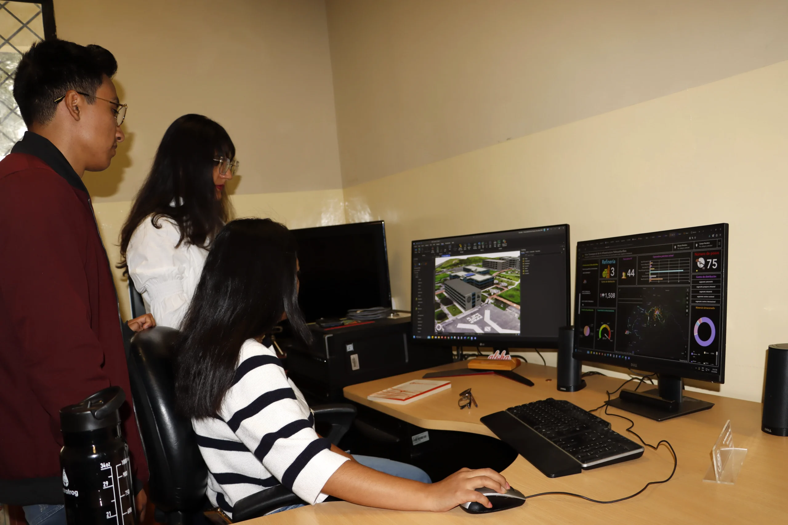
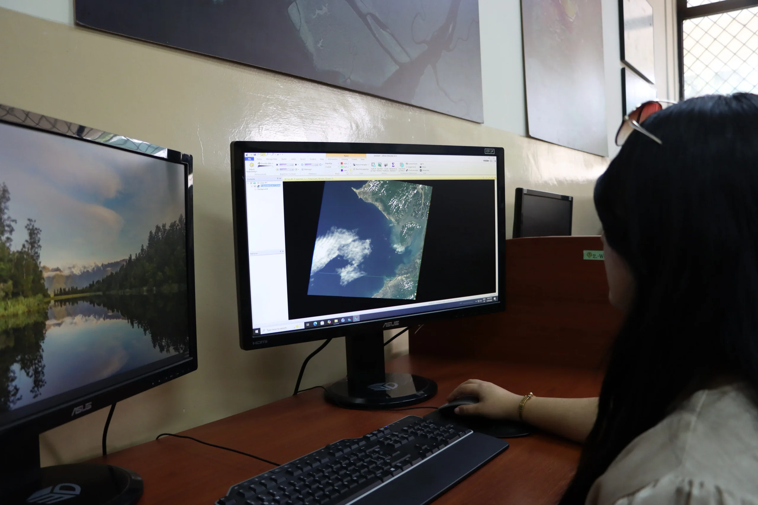
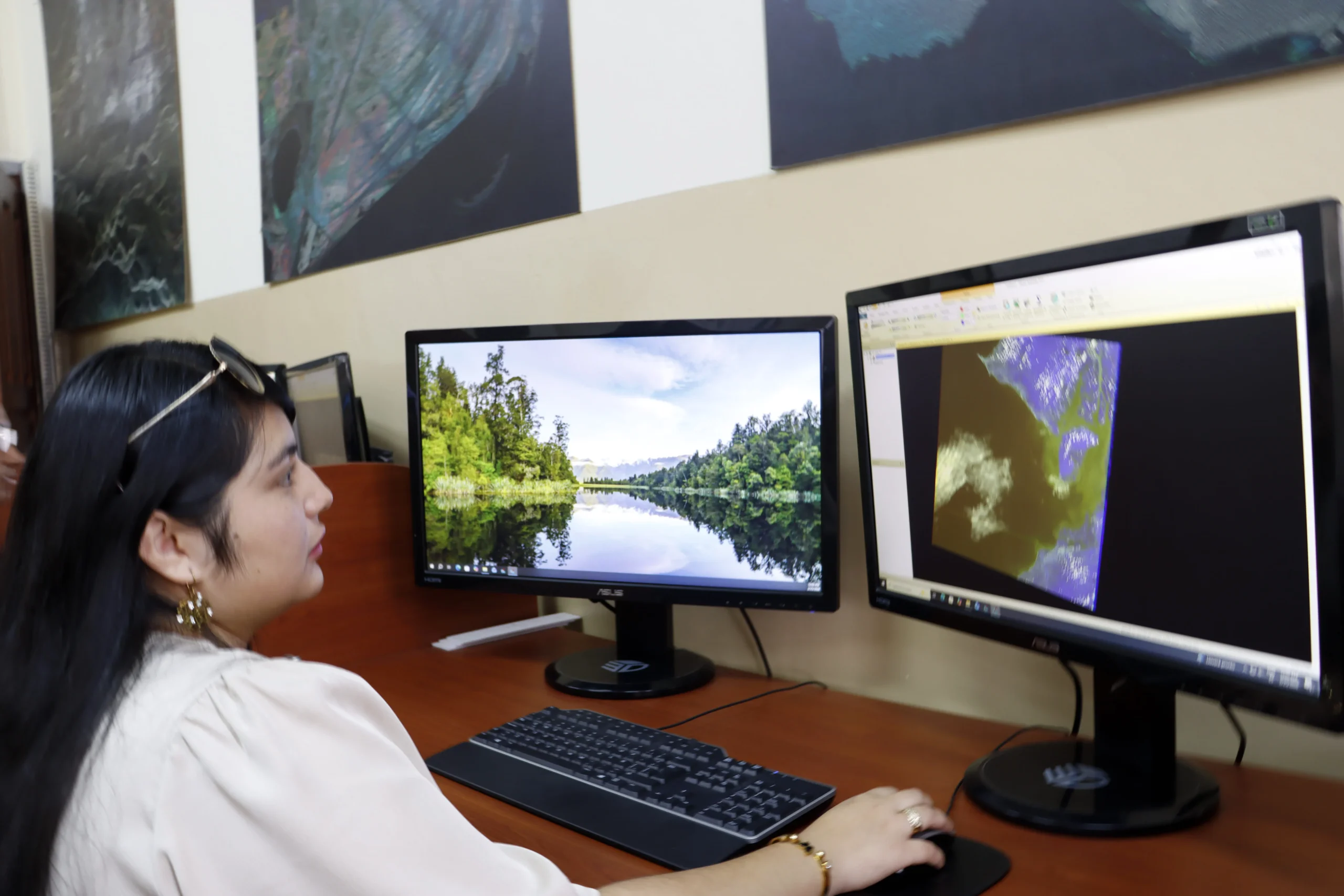
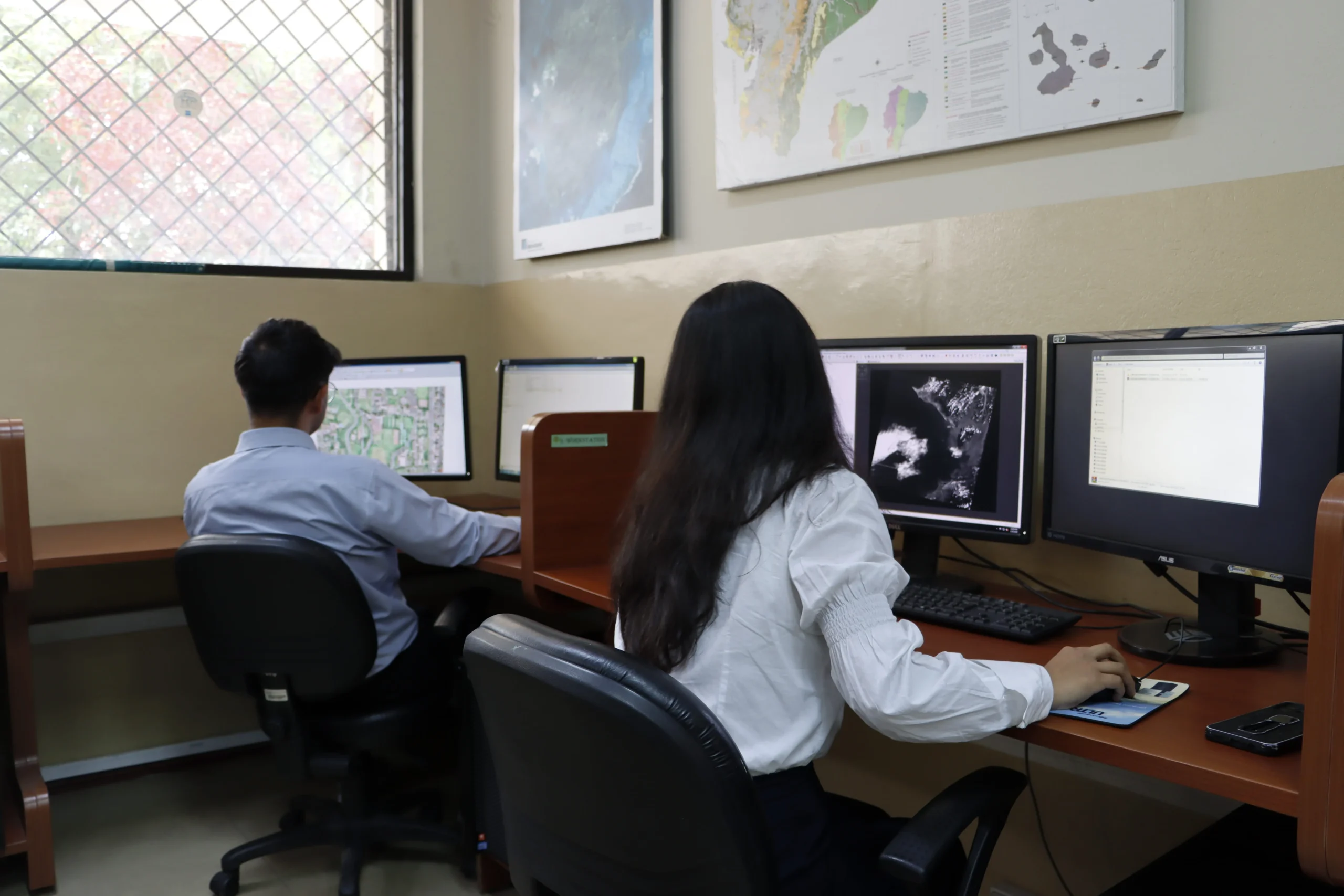
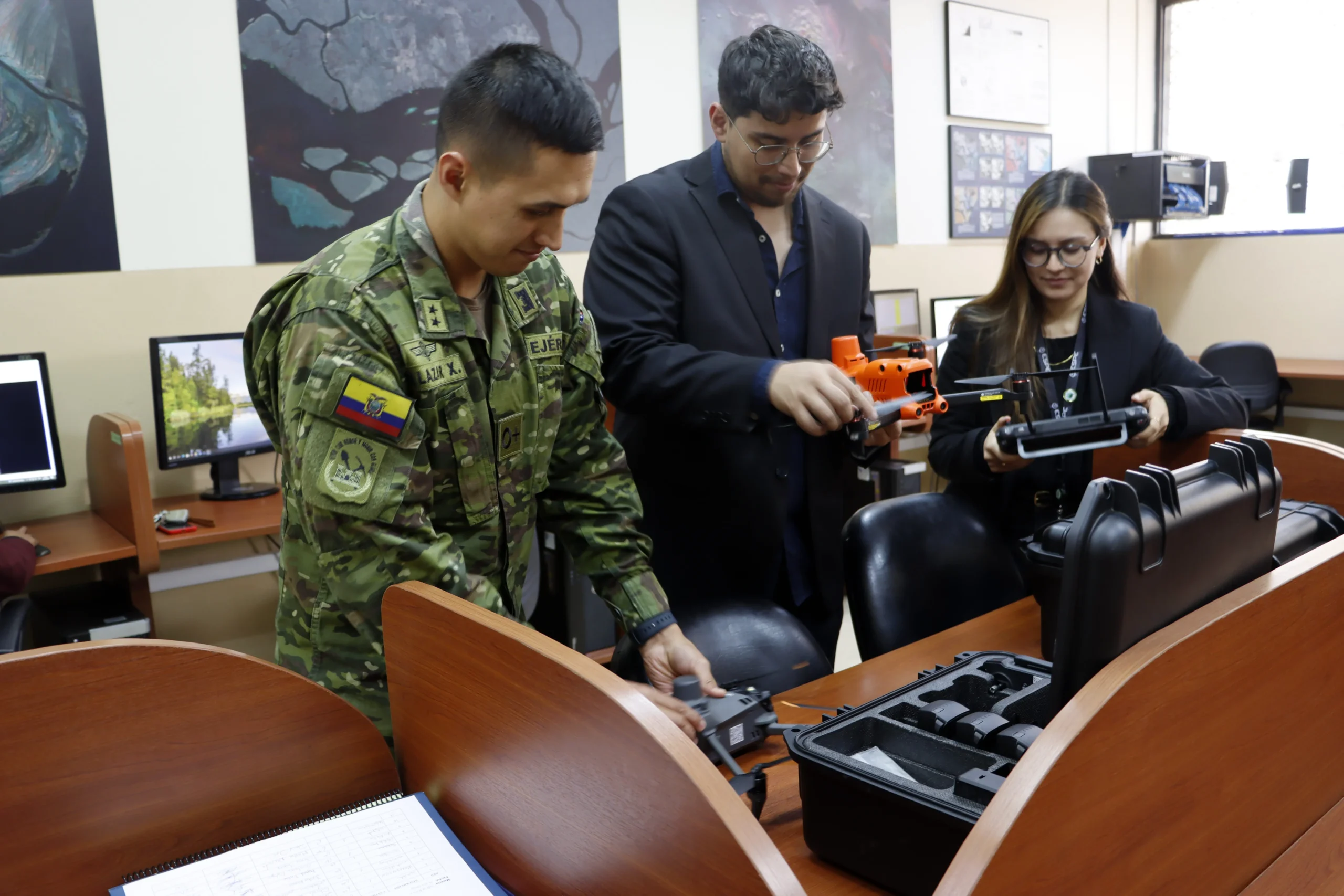
Gallery Gallery
Spaces, moments, and experiences that bring the program to life
Admissions and costs
Spaces, moments, and experiences that bring the program to life

CES Resolution
RPC-SO-15-No 309-2020
Program Code
ISOF-SQ-2023
Accreditation
In process
Application Dates
March – April 2025 / August – September 2025
Program cost:
Article 356 of the Constitution of the Republic establishes, among other principles, that third-level public higher education shall be tuition-free, and that this gratuity is linked to the academic responsibility of students.
Begin your path in
Geospatial Engineering
Join Universidad de las Fuerzas Armadas ESPE and become part of an
academic community of excellence with international reach.